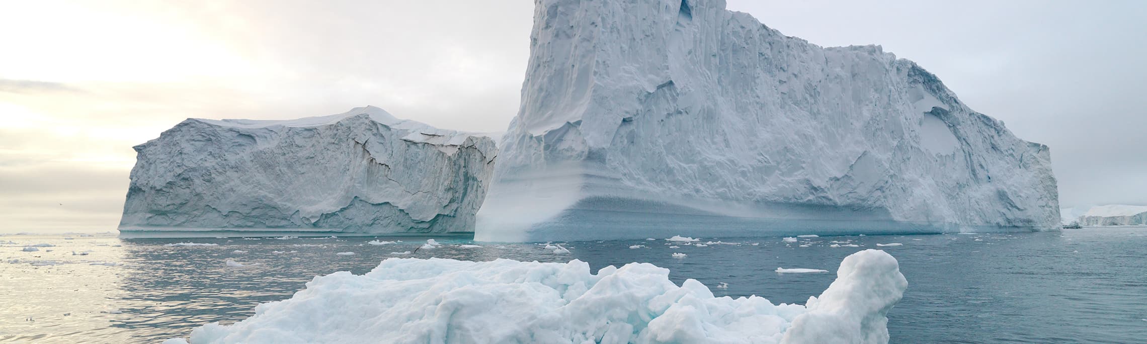
Iceberg Tracking with GPS
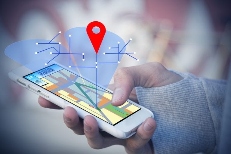
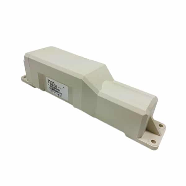
Everything is connected, from your refrigerator to your washing machine, the era of IoT is upon us. But who would have thought that icebergs in the middle of the Arctic would be connected as well? They are… Scientists are using our Smartone Solar GPS tracking device to monitor the movement of icebergs and can now receive position data for the next 10 years.
Icebergs are studied for many reasons and have generally been tracked using satellite imagery. However, times are changing and scientists can now take direct measurements of location, temperature, and other variables that can then be fed into forecasting models. This data can be collected from the Smartone Solar unit as fast as every 5 minutes. As the iceberg drifts, it delivers nutrients, fresh water and other minerals to the ocean floor. Did you know that phytoplankton numbers increase by up to one third in the wake of a large iceberg? Scientists are also studying the how the additional freshwater input may affect ocean currents and sea ice formations.
The other major reason for monitoring the location of the icebergs is because of an increase in boat traffic. Today more than ever, ships are using the Arctic as a major trade route. Scientists will feed this data into computers that can generate future models of the location of icebergs. Ship captains will have access to this data and can plan routes accordingly.
The Smartone Solar operates on the Globalstar low-earth orbiting satellite constellation and feeds data into the LoneStar Tracking mapping system. Users can analyze data directly in the LST software, or export data in a number of different formats. The Smartone Solar has a life expectancy of 10 years and is designed for the most rugged and demanding environments. For applications that require a smaller device, our Smartone C has similar capabilities with a 2 year battery life.