
Cellular vs. satellite GPS trackers: which one actually works where there’s no cell signal
Satellite GPS trackers for areas with no cell coverage: how they keep assets visible off the grid
When cellular tracking goes dark
A standard LTE or 4G GPS tracker is only as good as the cell signal around it. The moment your asset rolls into a canyon, crosses a stretch of open range, or heads offshore, that tracker stops reporting. It may cache a few positions and dump them when signal returns — or it may simply go silent until someone drives out to find it.
For assets that spend their working lives beyond tower range, that blind spot is the whole problem. A satellite GPS tracker solves it by sending position reports through orbiting satellites instead of ground-based towers, so your vehicles, equipment, trailers, and crews stay visible where cellular trackers go dark.
This guide covers how satellite tracking actually works, the real off-grid scenarios that demand it, and the practical trade-offs buyers weigh — coverage, battery life, data security, and cost — so you can match the right device to where your assets actually operate.
Satellite vs. cellular GPS trackers: the key difference
Both types of tracker determine location the same way: they receive signals from GPS satellites overhead to calculate a position. The difference is what happens next — how that position gets transmitted back to you.
A cellular tracker sends its location data over a mobile network, the same towers your phone uses. It’s inexpensive to operate and reports frequently, but it only works where there’s coverage.
A satellite tracker sends its position report up to a satellite constellation, which relays it to a ground station and then to your tracking platform. It doesn’t need a single cell tower to function, which means its coverage footprint is effectively global.
The trade-offs follow from that difference. Cellular tracking is cheaper, faster, and better for dense urban and suburban fleets. Satellite tracking costs more per report and updates less often, but it keeps working in places cellular never reaches. For assets that split their time between covered and remote areas, hybrid devices bridge both — more on that later.
Why cellular trackers fail where coverage drops off

Carrier coverage maps are optimistic. They show the theoretical reach of a tower under ideal conditions, not the reality on the ground. In practice, reception collapses in valleys, canyons, dense forest, and behind terrain that blocks line of sight to the nearest tower.
Whole categories of operation live in these gaps. Rural ranchland can sit miles from the nearest tower. Remote highways run through long dead stretches. Offshore waters lose coastal signal quickly, and backcountry job sites often have none at all.
When a cellular tracker enters a dead zone, one of a few things happens. It might stop reporting entirely, leaving a gap in your data. It might cache positions and upload them later, so you learn where the asset was only after it returns to coverage. Or, if the asset is stolen or breaks down in that zone, you may lose visibility completely at the exact moment you need it most.
For high-value equipment or safety-critical assets, that blind spot is an operational risk you can’t manage — you can’t act on information you don’t have.
How satellite GPS tracking actually works
A satellite tracker starts the same way any GPS device does: it acquires a fix from GPS satellites to calculate its coordinates. Then, instead of handing that fix to a cell network, it transmits it up to a communications satellite passing overhead. That satellite relays the report to a ground station, which feeds it into your tracking platform.
The satellite network matters. Low Earth orbit (LEO) constellations fly closer to the ground, which means lower latency and better performance from small, low-power devices. Geostationary satellites sit far higher and fixed over one region, offering broad coverage but with more latency and higher power demands for transmission. Most modern asset trackers use LEO networks for the balance of coverage and efficiency.
Because sending data over satellite draws more power and costs more than a cellular upload, satellite trackers usually report on a schedule — every few minutes, hourly, or a few times a day — rather than streaming continuously. That periodic model is a deliberate trade-off between visibility, battery life, and airtime cost.
One physical requirement is constant: the device needs a reasonably clear view of the sky to reach a satellite. A transmission can fail under a metal roof, deep tree canopy, or heavy structure, which shapes where and how you mount these devices.
Real-world scenarios that require satellite tracking
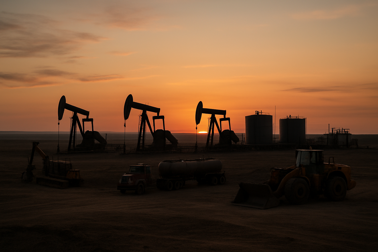
Satellite tracking isn’t about weekend hiking gadgets. It’s about keeping operational assets visible where the network ends. Here’s where it earns its keep.
Remote ranches and agriculture
Large properties routinely stretch far beyond tower range. Satellite trackers keep livestock trailers, water trucks, ATVs, and field equipment on the map across thousands of acres of no-coverage ground. When a trailer strays or a piece of equipment is stolen and hauled miles from the nearest tower, satellite reporting is often the only way to recover it. Ranchers already using GPS to manage and secure their herds find the same logic applies to the vehicles and equipment that support the operation.
Oil, gas, and mining field sites
Remote sites run generators, pumps, compressors, and heavy machinery that may sit unattended for weeks. Satellite tracking monitors their location and status without a technician on site. These are long, unattended deployments in harsh conditions, so battery life and durability aren’t nice-to-haves — they determine whether the device survives to the next service visit.
Remote logistics and long-haul routes
Shipments crossing long-haul corridors inevitably pass through coverage gaps. A satellite tracker maintains continuity of visibility when a trailer enters a dead zone, so you’re not guessing about a load’s location for hours at a time. For mixed fleets, this pairs well with the broader approach in our fleet GPS tracking guide.
Marine and offshore assets
Vessels, buoys, and floating equipment lose coastal cellular signal fast. Satellite tracking follows them well beyond shore. Devices in this environment need serious water and weather resistance, since they’ll face salt spray, submersion risk, and constant motion.
Backcountry equipment and crews
Construction, forestry, and survey operations often work where phones show no bars. Satellite trackers locate mobile equipment and, on capable devices, help account for personnel where there’s no other way to know their position. It’s the same asset-protection thinking behind our construction equipment tracking guide, applied to sites with zero cellular infrastructure.
What to look for when choosing a satellite GPS tracker
Use this as a buyer’s checklist for off-grid operations.
Battery life and power draw
For unattended remote assets, battery longevity is the single most important spec. If a device dies, someone has to drive hours to swap or charge it. Reporting frequency, cold temperatures, and satellite transmission power all pull on the battery. Look for long-life devices that can run for years, not weeks — LoneStar Tracking offers battery life up to 10 years, which eliminates most routine service trips entirely.
Durability and IP rating
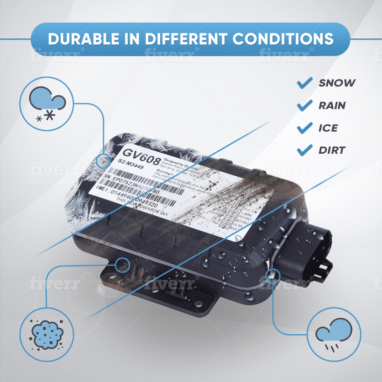
Check the ingress protection (IP) rating for dust and water resistance, and confirm the device tolerates vibration and impact. For offshore and desert deployments, verify the operating temperature range covers the extremes your sites actually see.
Reporting frequency and update intervals
More frequent reports mean better visibility but shorter battery life and higher airtime cost. Match the interval to the asset. Stationary equipment might report once or twice a day; a moving vehicle needs tighter intervals. The right device lets you configure this per asset.
Data encryption and privacy
Location data traveling over satellite should be encrypted end to end. Unprotected tracking data is a real exposure — competitors learning your routes, or bad actors learning where high-value equipment sits unattended. LoneStar Tracking is the only company that encrypts all of your data, which makes this a genuine differentiator rather than an afterthought. The same privacy principles we cover in how GPS location data is shared and protected apply doubly when data crosses public satellite networks.
Battery life on satellite trackers and what affects it
Realistic battery duration depends almost entirely on how hard you work the device. A tracker reporting once a day can last years; one reporting every few minutes will drain far faster.
Several factors shorten life. Cold weather reduces battery capacity. An obstructed sky forces the device to retry transmissions, burning extra power. Frequent updates and long transmissions add up. Plan your reporting schedule around the battery budget, not the other way around.
The payoff of a long-life device is fewer maintenance trips. When a tracker runs for years on a single battery, you’re not sending crews into the field just to keep the tracker alive — which is often the largest hidden cost of remote monitoring.
Keeping location data private over satellite
Your location data makes a journey: from the device, up to a satellite, down to a ground station, and finally into your tracking platform. Every one of those hops is a point where unprotected data could be intercepted or exposed.
That’s why encryption should protect the data at every stage of transmission, not just at the endpoints. When you evaluate vendors, ask direct questions: Is the data encrypted end to end? Who owns the location data — you or the provider? Where is it stored, and who can access it? A vendor that treats security as core, rather than as a box to check, will have clear answers.
Cost and subscription considerations
Satellite airtime costs more than cellular data, plain and simple. Bandwidth on satellite networks is scarcer, so every report carries a price. Your subscription cost is driven mainly by reporting frequency and message volume — more reports, higher bill.
The right way to weigh that cost is against the value of never losing visibility. For a high-value asset in a remote area, the airtime is trivial compared to the cost of a theft you can’t trace or a breakdown you can’t locate.
Look at total cost of ownership, too. A long-life device that runs for years without service visits removes a recurring field-labor expense that often dwarfs the airtime bill. Cheaper hardware that needs frequent battery swaps in remote locations can end up far more expensive.
Hybrid cellular and satellite trackers: when they make sense
Hybrid devices default to cellular where coverage exists and switch to satellite only when they hit a dead zone. Because cellular reporting is cheap, this keeps costs down for assets that spend most of their time in covered areas and only occasionally go off-grid — a delivery route with a few dead stretches, for instance.
The economics favor hybrids when an asset’s time is split. But if an asset lives almost entirely in remote territory — a pump on a distant lease, a buoy offshore, equipment on a backcountry site — a satellite-only device is simpler and more reliable, with no dependence on a network that will rarely be there anyway.
Limitations of satellite tracking to plan around
Satellite tracking is powerful, but it isn’t magic. Set expectations up front:
- Reporting is periodic, not continuous. You get scheduled position reports, not a live real-time stream like a cellular tracker in strong coverage.
- It needs a clear sky. Performance drops or stops indoors, under metal roofs, and beneath heavy tree cover.
- Airtime costs more per message, which shapes how often you can afford to report.
- Latency is higher, so a given report may arrive minutes after it was captured.
None of these are dealbreakers for remote asset tracking — they’re just the design trade-offs you plan your deployment around.
Choosing the right tracker for off-grid operations
Start with three questions. Where do your assets actually travel — consistently remote, or mixed coverage? How often do you genuinely need position reports? And how long must the device run without a service visit?
Match your answer to the coverage reality, then layer on durability for the environment and encryption for the data. Assets in permanent dead zones want satellite-only devices with multi-year batteries. Assets with occasional gaps may be better served by a hybrid.
LoneStar Tracking’s long battery life — up to 10 years — and fully encrypted data are built for exactly the remote, unattended, security-sensitive assets that satellite tracking exists to serve. The goal isn’t more hardware; it’s never losing sight of what matters, wherever it goes.
FAQ
Can a satellite GPS tracker work anywhere with no cell coverage?
Nearly anywhere with a clear view of the sky. Satellite trackers don’t rely on cell towers, so they function across remote land, open water, and backcountry. The main requirement is sky visibility — performance drops indoors, under heavy tree cover, or beneath metal structures.
How long does the battery last on a satellite GPS tracker?
It depends heavily on reporting frequency and conditions. A device reporting once a day can last years, while frequent updates drain it faster. Cold weather and obstructed sky also shorten life. Long-life devices like LoneStar Tracking’s can run up to 10 years, minimizing service trips to remote sites.
Is satellite GPS tracking more expensive than cellular tracking?
Generally yes. Satellite airtime costs more per report than cellular data, and your subscription scales with how often the device reports. For remote high-value assets, that cost is usually small next to the value of maintaining visibility where cellular can’t reach.
Can satellite trackers report location in real time?
Not in the continuous sense a cellular tracker offers in strong coverage. Satellite trackers report on a schedule — every few minutes to a few times a day — to balance visibility against battery life and airtime cost. Reports may also arrive with some latency.
Do satellite trackers work indoors or under heavy tree cover?
Poorly or not at all. Satellite transmission needs a clear line of sight to the sky. Dense canopy, metal roofs, and enclosed structures can block reports, so mounting location and sky exposure matter for reliable performance.
Is location data secure when sent over a satellite network?
It should be, but only if the provider encrypts it. Data crossing a satellite network passes through several points where it could be exposed. LoneStar Tracking encrypts all data end to end, so your asset locations stay private throughout transmission — a protection not every vendor offers.